Site on satellite
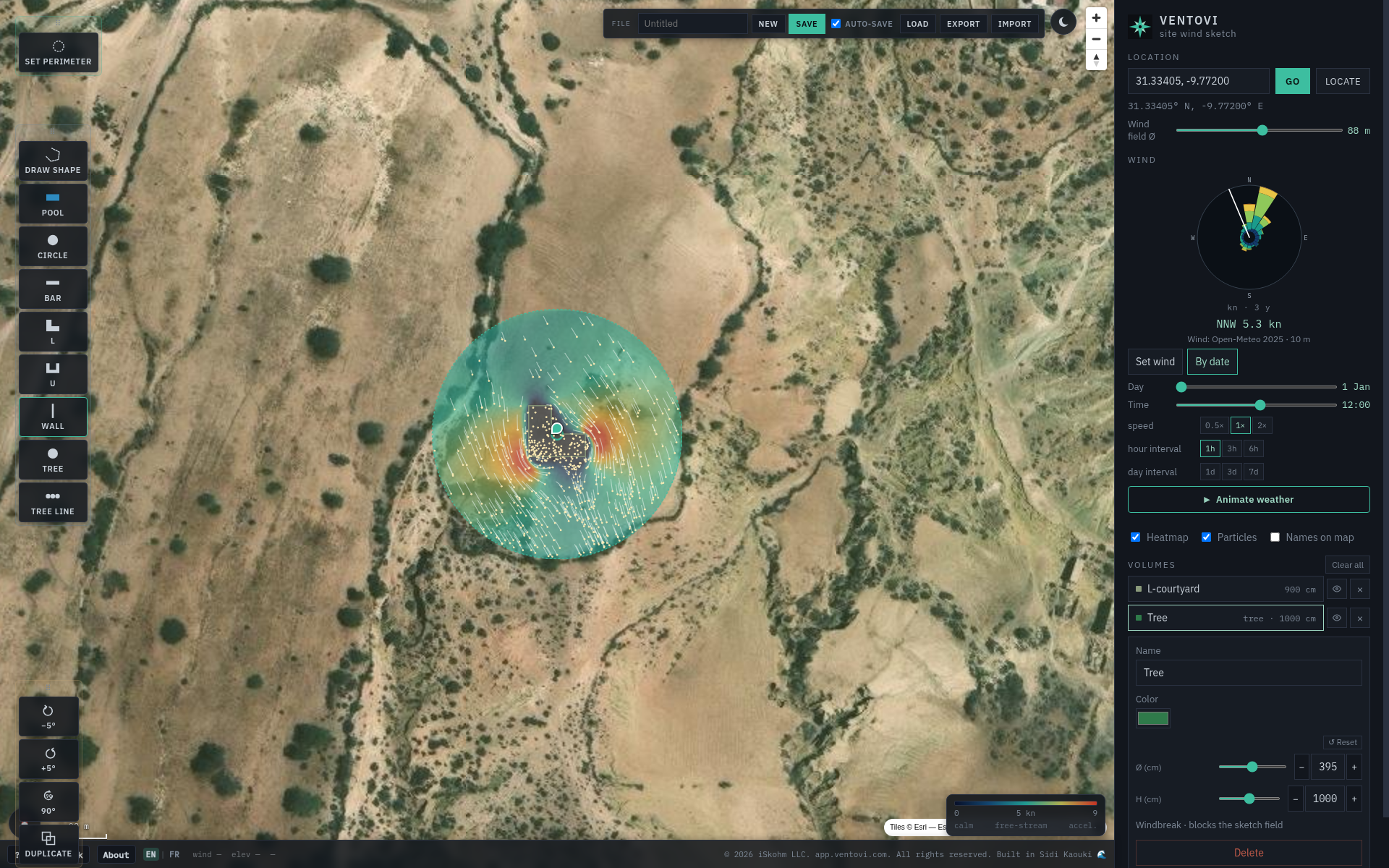
Search / Go, GPS pin, circular wind field (default Ø 88 m, up to 155 m) or a custom perimeter (about 2 ha). Wall-on-perimeter. Dark / light.
 Ventovi
Desktop-first · for architects
Place courtyards, walls, and trees on a GPS map. Run a client-side 2D wind sketch — calms, wakes, speed-ups in seconds.
Shipped
Search / Go, GPS pin, circular wind field (default Ø 88 m, up to 155 m) or a custom perimeter (about 2 ha). Wall-on-perimeter. Dark / light.
Draw freeform or drop Pool, Circle, Bar, L / U courtyards, Tree, Tree line, Wall. Rotate, group, boolean union / subtract / intersect. Undo.
Client-side LBM — heatmap + particles. Manual knots or By-date archive, wind rose, Animate weather. Status under the cursor: calm · venturi · turbulence.
New / Save / Load library (IndexedDB), autosave, export JSON. Help, Feedback, About. EN | FR.
For architects and site designers. Not a full study. The gap between nothing and CFD.
Honesty
2D eave-height sketch for qualitative tunnels, wakes, and speed-ups. Flat ground — no DEM. Not LES, not code compliance, not a substitute when a professional wind study is required.
Trust is the product.
Circle
LEEWARD Circle / friends beta today. Product name: Ventovi. App: app.ventovi.com.